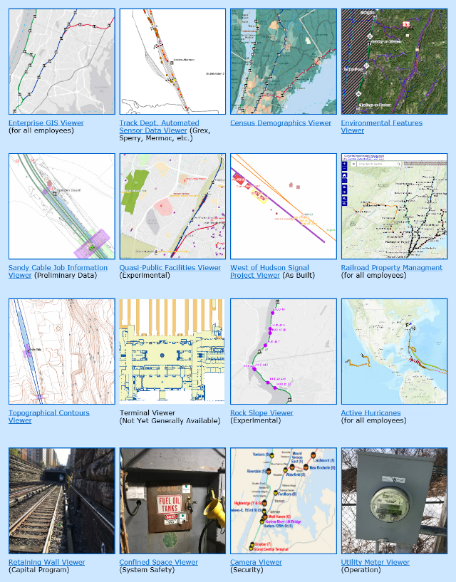
At a major regional railway, we were responsible for developing staffing, organizational structure, and business plans necessary to initiate a companywide Enterprise Geographic Information Systems (GIS) program. We implemented corporate GIS standards, boilerplates, policies, and procedures, and managed the initial bootstrapping phases of the new program, ensuring that necessary I.T. and other resources were secured. We established an interdisciplinary team of staffers and consultants to develop a concept of operations plan to advance GIS and asset management data collection efforts, and to identify internal mapping and tracking needs that are not currently being fulfilled. This project gathered, imported, and published basic geospatial and infrastructure data (i.e. base map) to fulfill stated business and analytical needs of all departments throughout the railroad. Additionally we scoped out five supporting application development projects, provided their functional specifications, and designed new business processes required to support the elicited user requirements of a number of key railroad departments. The GIS applications included: a property management tool, an electronic track chart, a capital program drawings indexing and retrieval tool, a real-time train-tracking tool for use by field customer service agents, and a planning tool for visualizing travel patterns and traveler demographics. These five GIS applications were progressed through the operating budget justification process, which helped secure $3.8M of Enterprise Asset Management (EAM) funding.
Related Publications/Presentations:
Geographic Information System Concept of Operations as a First Step Toward Total Enterprise Asset Management
Enterprise GIS in a Commuter Rail Environment: State-of-Practice at a Major Northeastern Carrier