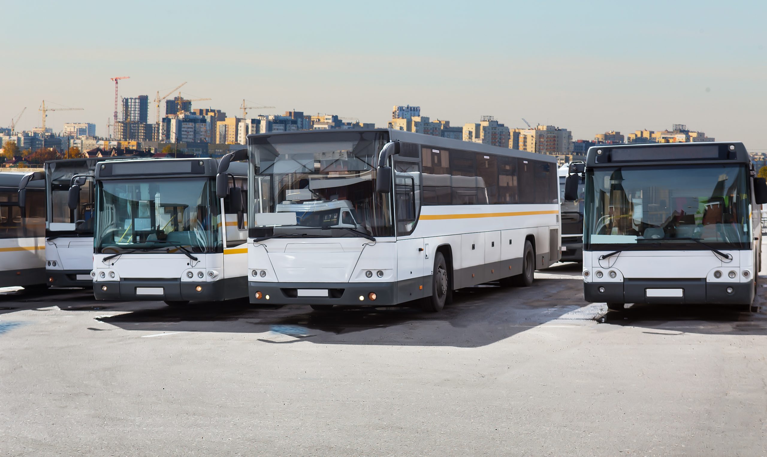
The installation of an Automated Vehicle Location (AVL) system alongside existing Automated Fare Collection (AFC) data on all New York City buses spurred development of a city-wide bus passenger boarding and alighting ridership model. These advances in ridership modeling allowed for analysis of trip passenger loads and 100% passenger origin-destination data at both route and neighborhood level on single-mode and intermodal trips. Analysis techniques that relied solely on professional judgement due to lack of available data are now being replaced by more sophisticated statistical techniques. The identification of a long route in Manhattan with poor performance and determination of optimal route split location minimizing passenger impact by using modeled route-level origin-destination (O-D) data. Performance and running time data on the original and surrounding routes were used to determine an expectation for performance and running times on the new routes. New data sources allowed for novel analysis throughout the entire planning process, beginning with problem investigation through forecasting ridership and cost impacts of proposed service adjustments. The resulting service planning potential from having access to fully integrated, rich, big data sources are very important.
This blurb requires revision.
Related Publication: